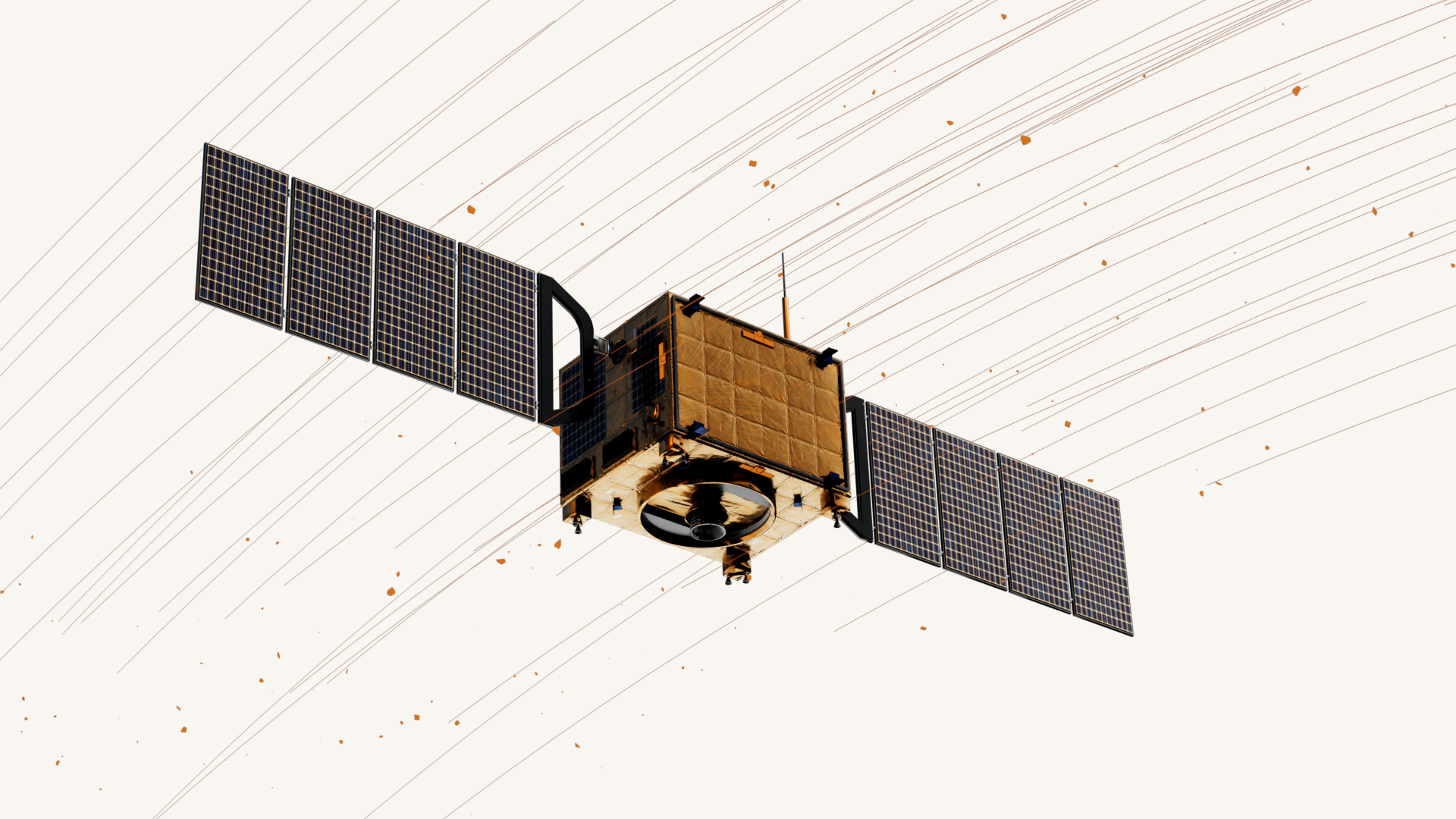
MAPPING INVISIBLE ORBITAL DEBRIS
Protecting All Space Assets


Our Mission
Deliver the most accurate and reliable data on invisible, yet lethal orbital debris via our state-of-the-art network of impact detectors deployed on every satellite, on every orbit.

Orbital Debris
Impact Network
With our network of on-orbit, impact detectors, ODIN Space provides data-driven insights on objects in LEO and GEO, supporting the entire space ecosystem with high-resolution data on the orbital debris threat.
Services
ODIN Space is the worlds first and only supplier of commercial on-orbit mapping services for invisible objects in both LEO and GEO.
We deliver continuous data on invisible objects across every orbit. Our high-precision technology is capable of identifying and characterising objects with unparalleled detail to secure all space assets.
Our cloud-based risk management products empower you to design your mission with safety in mind and to adapt to the evolving debris threat once launched.

Pre-flight
High-precision risk assessment and mission planning services to maximise your satellite's lifetime.

On-orbit
Real-time orbital debris alerts and risk trending information for proactive decision making.

Sustainability Report
Assurance on your mission's collision risk, providing a measure of sustainability for customers, investors or insurers.
Stay in the know.
Keep up-to-date with latest ODIN Space news.
Markets

Satellite Operations
Prolong the life of your satellites. Minimise downtime for your customers.
High-fidelity data that protects the entire space ecosystem.
Reliable, high-precision data is crucial for the development of orbital debris collision risk management tools and protocols across the entire space ecosystem.
Spacecraft manufacturers and operators rely on accurate data to plan missions with safety in mind, while governments and regulators require up-to-date and reliable data in order to mandate new policies and standards.